With a background in urban planning at National Cheng Kung University and a master’s degree in architecture and cultural heritage at Taipei National University of the Arts, I bring practical experience in GIS, historical map analysis, urban planning and project management, turning complex data into clear spatial insights.
A repeatable workflow for reservoir rankings, rainfall comparisons and time-series simulations, with validation and Excel / PowerPoint deliverables. Synthetic examples demonstrate missing-data checks, simulation parameters and human review.
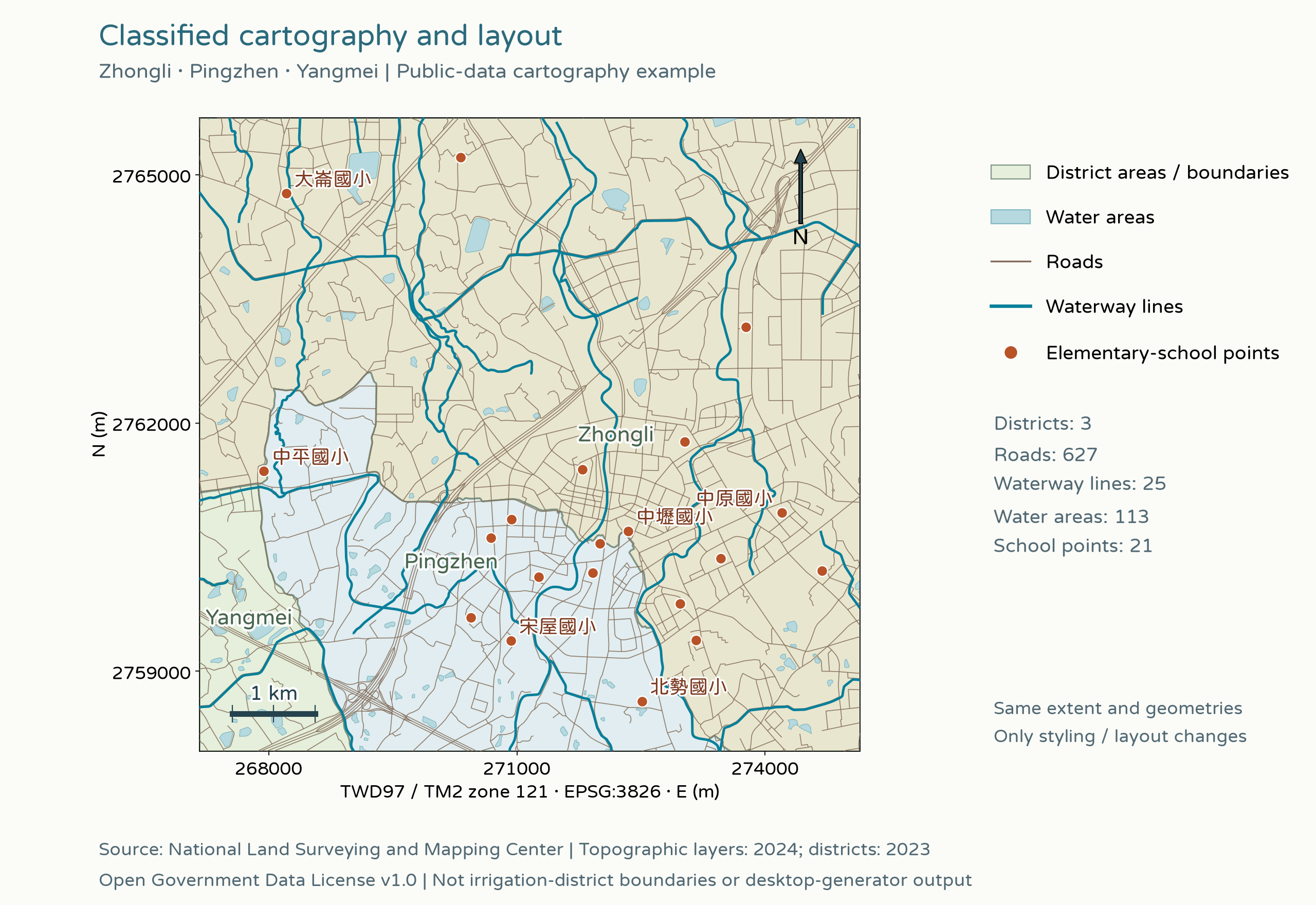
Generate QGIS projects through XML, configuring layers, symbology, map extents and layouts before rendering and review in a separate PyQGIS step. A real public-data overlay comparison demonstrates classified styling, labels, scale and legend placement.
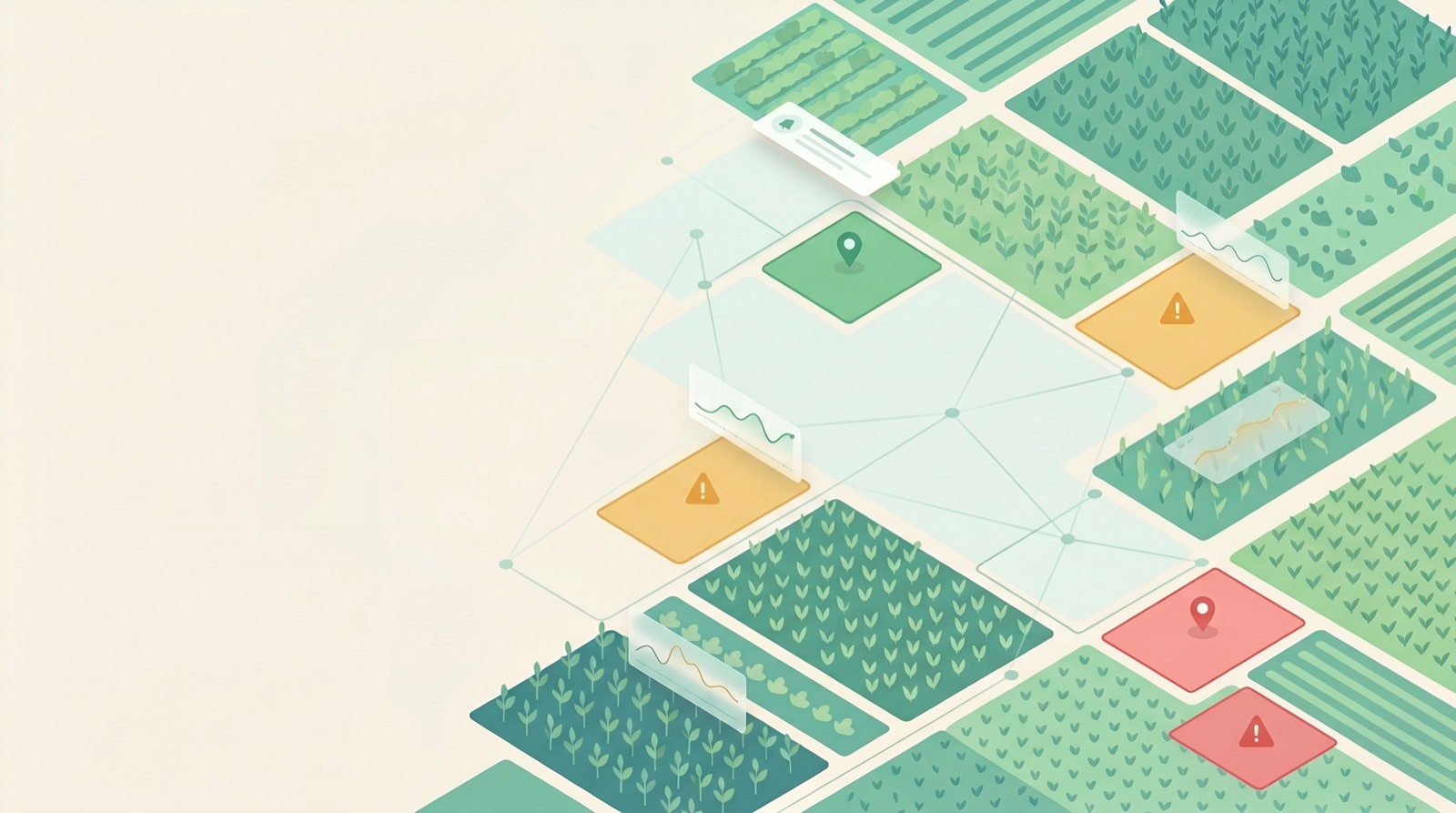
An interactive generative AI application prototype that illustrates how an AI agent could compare crop conditions against a RAG knowledge base, detect cold stress, water shortages and waterlogging, and provide plain-language recommendations while locating the affected field on a map. It demonstrates scenario planning, agent workflows and a RAG knowledge architecture with a GIS perspective.
Using Ministry of the Interior transaction records from 2025 through the first half of 2026, this map visualizes new-development prices and buffer analysis around 87 metro stations. It aggregates 5,475 presale records into 256 projects and uses a custom reverse-matching method to recover development names for 30% of newly completed housing records. Four modes display districts, project locations, price clusters and metro catchments.
PythonLeafletTransaction RecordsETLInteractive VisualizationOpen Data
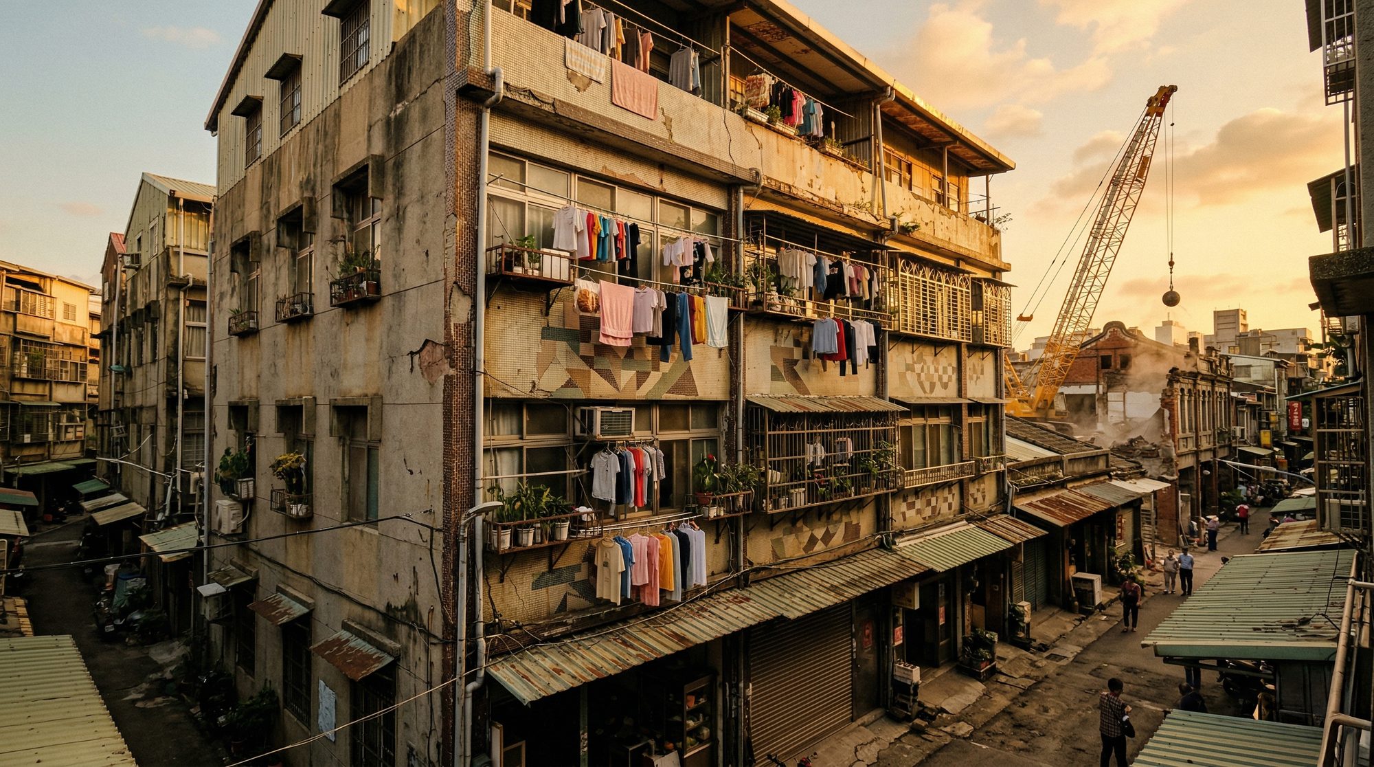
The analysis focuses on older buildings without protected heritage status. Completion dates from transaction records, more than 8,700 building-use permits from data.taipei, urban renewal cases and metro accessibility inform a map of redevelopment pressure across Taipei’s 12 districts. It explores an underexamined intersection of ordinary older buildings, urban development and GIS in Taiwan.
PythonGeoPandasShapelyFoliumChoroplethPercentile ScoringOpen DataResearch Gap
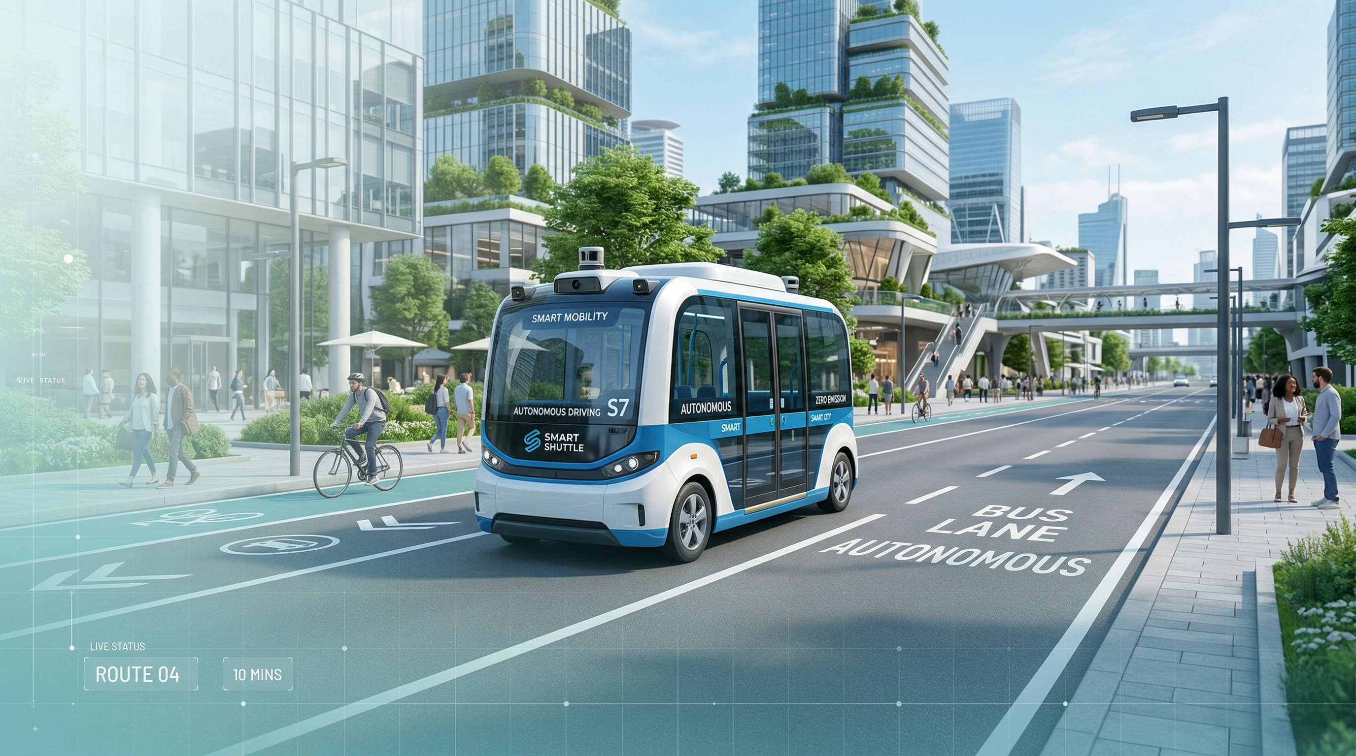
A systematic assessment from demand identification to route planning: bus service gaps (22.1%), operational design domain suitability and demand-weighted POI selection inform three proposed shuttle routes and a phased implementation strategy. The modeled service gap falls to 15.1%.
Spatial Planning of Tainan’s Permanent Barracks under Japanese Rule
Historical maps and blueprints from 1895 through the 1940s are overlaid in GIS to trace how Tainan’s military sites evolved with changing requirements under Japanese rule. The thesis received an Excellence Award in the 2024 Taiwan Studies doctoral and master’s thesis awards.
An offline PWA built for my own trips to Japan, with practical phrases for restaurant reservations, ordering food and asking directions. It shows kanji, kana and romanization alongside TTS audio, and works in airplane mode when added to an iPhone home screen.
Lessons from researching land records for my master’s thesis. Two routes start from a Japanese-era parcel number or a present-day address, then follow four steps to request historical registers and land ledgers. Includes a 86-entry cross-reference of Taipei place names and cadastral sections.
Spatial Planning of Garrison Units under Japanese Rule
A Case Study of Tainan’s Permanent Barracks | Wei-Shan Chen | Graduate Institute of Architecture and Cultural Heritage, Taipei National University of the Arts
Chapter 1 · Introduction
The study begins with 21 blueprint sheets of Tainan’s garrison units from Professor Huang’s collection. It examines the development of Taiwan’s permanent barracks program under Japanese rule, covering 1896–1942 and areas now within Tainan’s West Central, East, North and Anping districts.
Chapter 2 · Military Organization in Colonial Taiwan
The chapter traces military reorganization after Japan took control of Taiwan in 1895, from the Imperial Guards Division to mixed garrison brigades and the establishment of Taiwan Army Headquarters in 1925. It documents how officers’ quarters corresponded to rank, including 80 ping for major generals, 55 for colonels and 26 for junior officers.
Chapter 3 · Taiwan’s Permanent Barracks Program
Four construction phases are reviewed: brick construction with steel structures in 1902–1909; improvements to walls and roofs in 1910–1913; repair-focused work during wartime budget constraints in 1916–1922; and facilities for newly established units, including aviation regiments, in 1923–1942.
Chapter 4 · Construction of Tainan’s Permanent Barracks
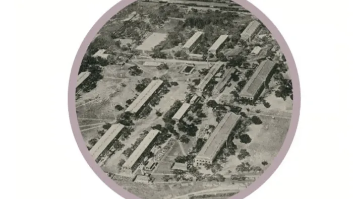
The central chapter follows the use of former Qing administrative buildings as temporary barracks, then the selection of higher ground north of the city in 1899 on military medical advice. It analyzes the spatial planning of infantry barracks (now National Cheng Kung University campuses), artillery barracks, the garrison hospital and firing ranges.
Chapter 5 · Barracks Facilities and Daily Life
Using Tainan’s infantry barracks, the chapter examines internal arrangements such as rifle racks, furniture and storage; supporting facilities such as guardhouses, medical rooms, kitchens and baths; and everyday military life, including the 1934 regimental flag ceremony.
Chapter 6 · Conclusions
Tainan was the first barracks in Taiwan to accommodate two infantry battalions and may have influenced later planning in Taipei. Designs adapted to Taiwan’s climate through termite-resistant brickwork, raised floors for ventilation and shaded corridors.
Core Method · Historical Map Overlay in GIS
Digitize and import 21 blueprint sheets into GIS
Overlay Japanese-era cadastral maps to locate military facilities
Confirm army-administered parcel numbers at land offices
Compare maps from multiple periods to establish when buildings appeared
Map facilities and label their names and functions
Cross-check against primary sources, including Japanese Army records